Custom Mapping For The Land Owner, Sportsmen, And Recreational User
Hunting
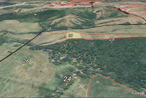
Hunting/Property Applications
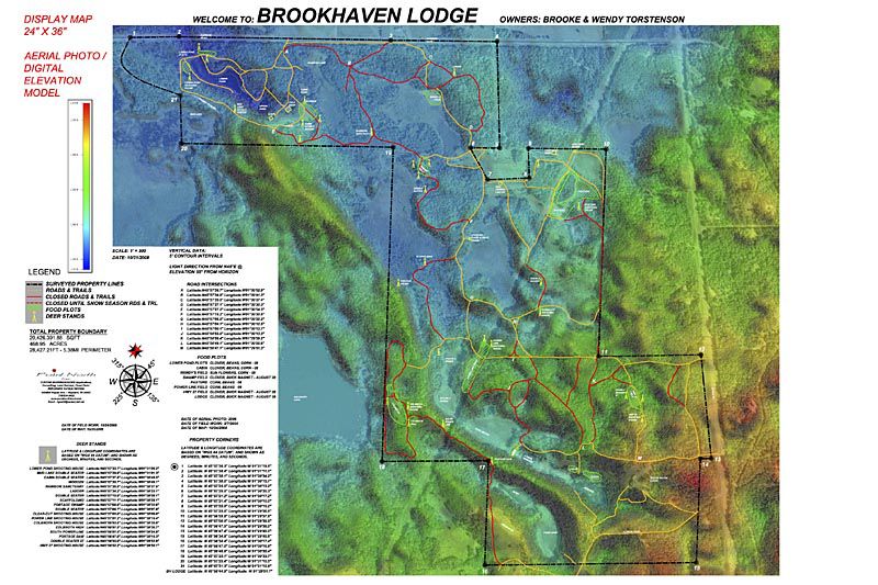
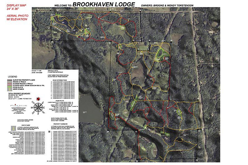
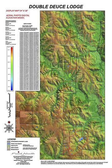
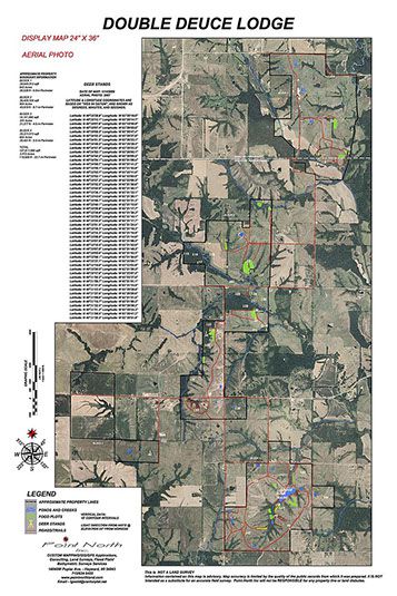
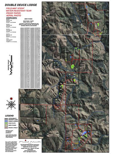
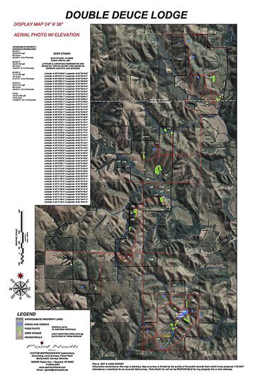
Display maps can be framed in glass and displayed at the lodge for use in planning activities for that day. This preparation by the landowner will enhance the ease of land management by highlighting the locations of deer sanctuaries, trespass areas, occupied hunting stands and open or closed trails and roads.
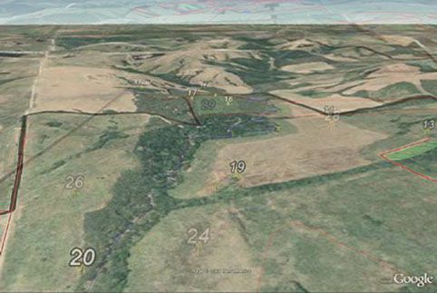
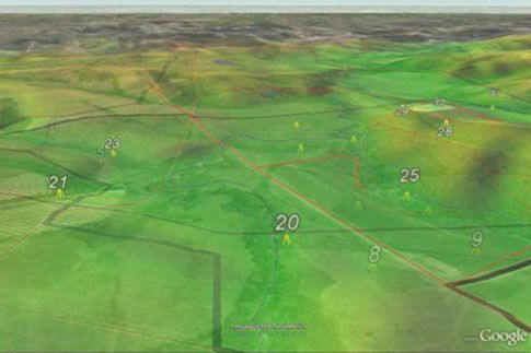
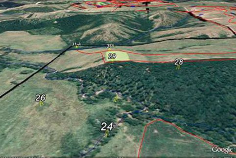
A GPS unit can become an accurate point-to-point navigation system and field reference when mapped. Latitudes and Longitudes are entered into the device as points of interest.
Example of features and waypoints:
- ATV/Snowmobile trails
- Hiking and Ski trails
- Roads
- Hunting stands
- Food plots: Hydrographic - water holes, irrigation lines and valves, windmills etc...
- Structures
- Fence lines
- Livestock crossing
<
>
<
>
4 - 6
x
© Copyright Point North Land Surveying and Mapping Inc. All rights reserved.
CREATE A MAP
CONTACT