
Custom Mapping For The Land Owner, Sportsmen, And Recreational User


Aerial/Topo/Satellite Maps
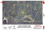
Aerial / Satellite / Topo Map
Includes:
- Aerial photo with Topo lines
Map:
- One 24"x36" High Gloss display map
Price:
Standard Order: $95.00 - All Acres
Create your own map: $75.00 discount
Click on image for example
1,000 Acres or more, please request a quote using the link below:
All orders will be proofed by the client before the final printing via email or hard copy

x

Click above logo to create a map
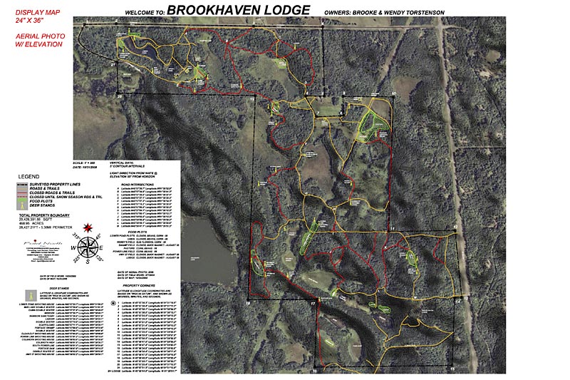
Owners Advance
Includes:
- Aerial photo, Boundary and Point of
Interest
- Two 24"x 36" High Gloss display map
- Four Water/Tear resistant field maps or
One 24"x36" High Gloss
- Optional topo lines by request
- Optional 3D shading by request
- Food Plots, Roads/Trails/ Water/ Hunting
stands etc
- Optional Digital Elevation Models
- Additional map sizes up to 40"W x 72"L
- Free Mobile App compliant with Google
Earth Apps
- GPS Upload Link
Price:
Standard Order: $200.00 - 100 Acres or less
Create your own map: $165.00 discount
Standard Order: $265.00 - 500 Acres or less
Create your own map: $230.00 discount
Standard Order: $325.00 - 1000 Acres or less
Create your own map: $285.00 discount
1,000 Acres or more, please request a quote using the link below:
All orders will be proofed by the client before the final printing via email or hard copy
Click on image for example

x
Click above logo to create a map
Field Maps
Field maps are printed on a water resistant and tear-resistant paper that provides the users full enjoyment of the elements without worrying about the map. All attributes of the Display map are shown on the Field map for quick field reference.
Map Overlays & Layers
- Aerial photography, color & black/white
- USGS topographic data
- Digital Elevation Models
- Custom contours intervals
- Approximate boundary lines or surveyed lines
- Waypoints and Features
Display Maps
Display maps can be framed in glass and displayed at the lodge for use in planning activities for that day.
Check the status of your area:
Boundary Aerial/Satellite
Includes:
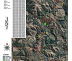
- Aerial photo with Boundary & Topo
Map:
- Two 24"x36" High Gloss display map
- Optional topo lines by request
- Optional Digital Elevation Models
- Additional map sizes up to 40"W x
72"L
- GPS Upload Link
- Free Mobile App compliant with
Google earth apps
Price:
Standard Order: $145.00 -100 Acres or less
Create your own map: $99.00 discount
Standard Order: $199.00 - 500 Acres or less
Create your own map: $145.00 discount
Standard Order: $245.00 - 1000 Acres or less
Create your own map: $195.00 discount
Click above logo to create a map
1,000 Acres or more, please request a quote using the link below:
All orders will be proofed by the client before the final printing via email or hard copy
Click on image for example
x
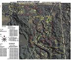
GPS Ultra
Includes:
Aerial photo with Topo lines
Map:
- Six 24"x36" High Gloss display map
- Twelve Water/Tear resistant field
maps or three 24" x 36" High Gloss
- Optional topo lines by request
- Optional 3D shading by request
- Food Plots, Roads/Trails/Water/
Hunting stands
- 3D video Fly-Overs
- Additional Map sizes upto 40"W x 72"L
- Free Mobile App compliant with
Google earth apps
Price:
100 Acres or less: $1,200.00
500 Acres or less: $1,700.00
1000 Acres or less: $2,500.00
Click above logo to create a map
All orders will be proofed by the client before the final printing via email or hard copy
Click on image for example
1,000 Acres or more, please request a quote using the link below:
x
Sizes & Paper type
11” x 17” to 40” x 72”
High gloss, coated and water/tear resistant.
8 1/2” x 11” to 24” x 36”
Water/tear resistant.
All map packages compatible with Google Earth mobile apps, include this request with your order. It’s really cool!
IMPORTANT NOTE: Google Earth aerial photos DO NOT reflect our most current library of up to date aerial photos - All digital data is compatible with a Google Earth software

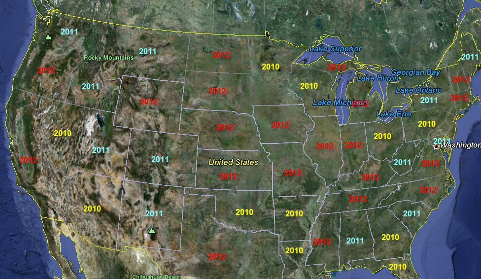
Aerial/ Satellite Library
© Copyright Point North Land Surveying and Mapping Inc. All rights reserved.
CREATE A MAP
CONTACT